
Airspace restrictions – All about conflict and risk zones
Around the world you find restrictions concerning the airspace in certain areas. Explore the limitations and learn where to find current information in our guide.
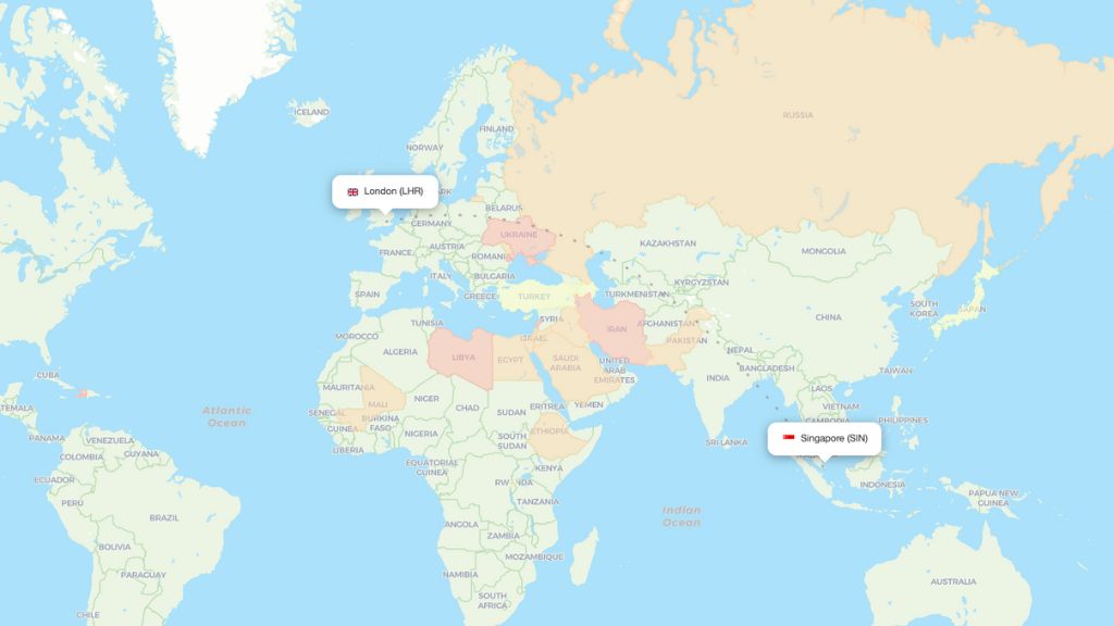
Flight paths used by different airlines can be affected by a number of different reasons, the reason with the highest impact being different kinds of airspace bans or restrictions. This causes flight time and distance to increase, and can also vary depending on which airline you are flying with.
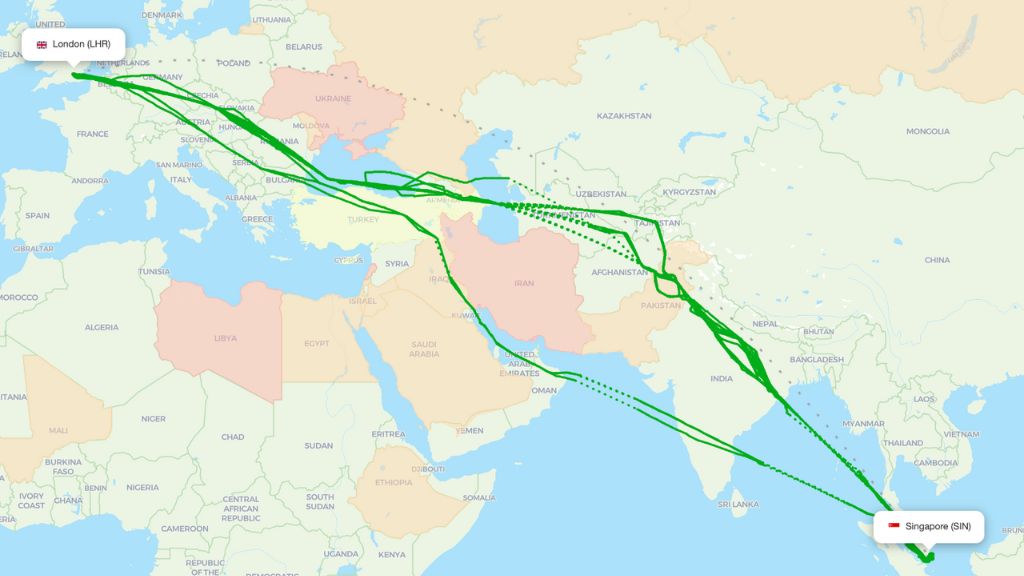
To make it more understandable why an airline might avoid or choose certain airspaces when flying a route, we highlight specific conflict areas and airspace restrictions in our data and on our maps using different colors – as displayed below.
For more information about what the different colors mean and why these areas are restricted, check out the list of sources below.
List of sources
- Wikipedia – List of airlines banned in the European Union.
- Safeairspace.net – Conflict Zone & Risk Database. Aggregates warnings and information from authorities and organizations.
- Various government bodies and aviation agencies like EASA.
READ MORE
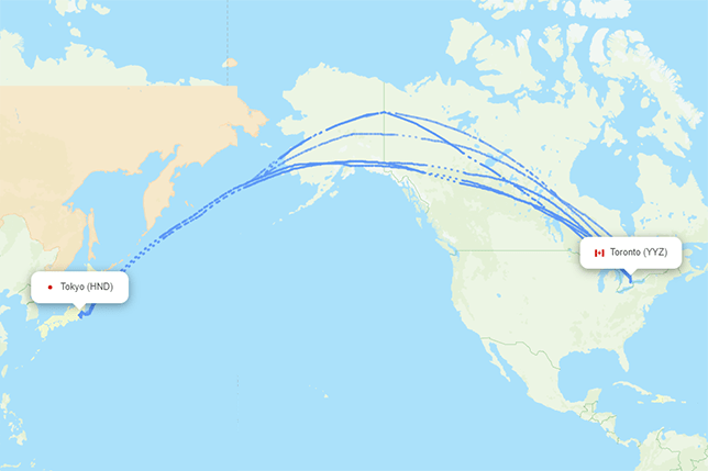
Toronto to Tokyo flight path – Actual airspace usage
Read more
Actual flight paths with Lufthansa
Read more
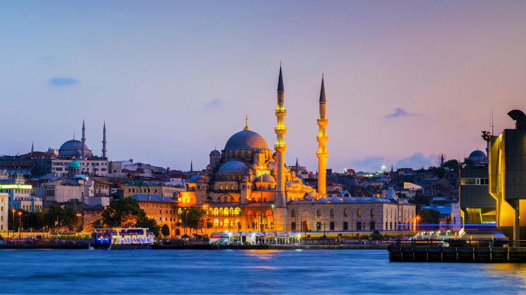
Flight paths to Turkiye
Read more
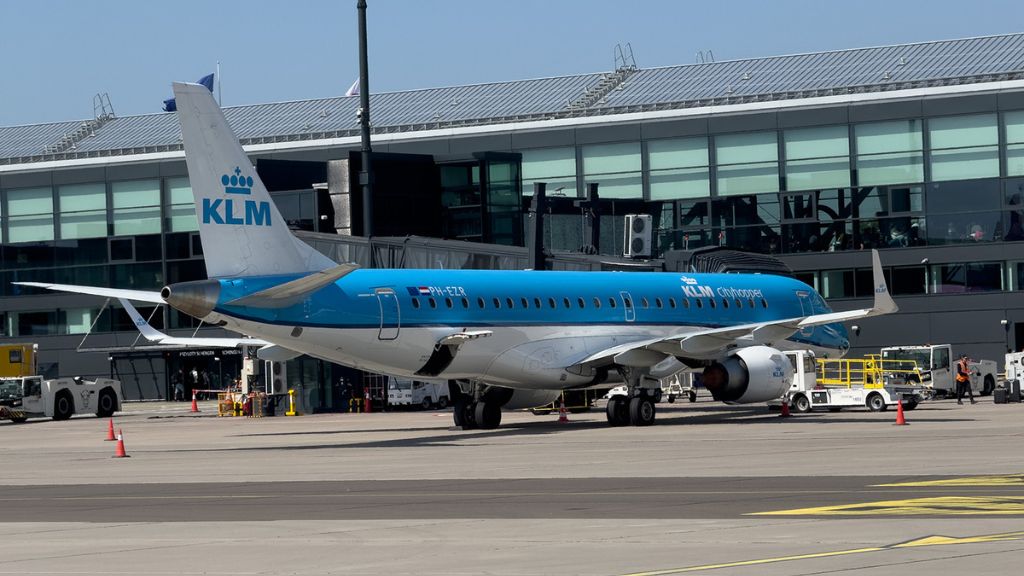
Actual flight paths with KLM
Read more
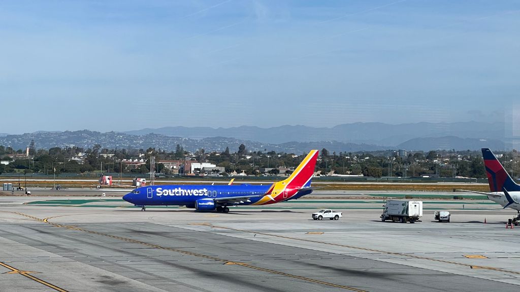
Actual flight paths with Southwest Airlines
Read more
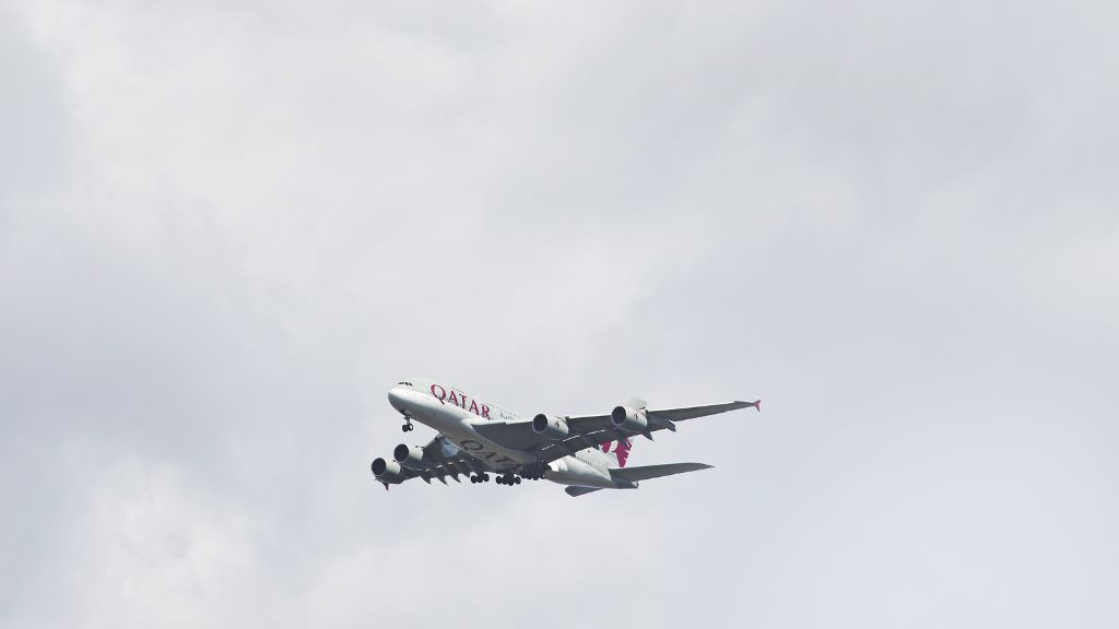
Actual flight paths with Qatar Airways
Read more
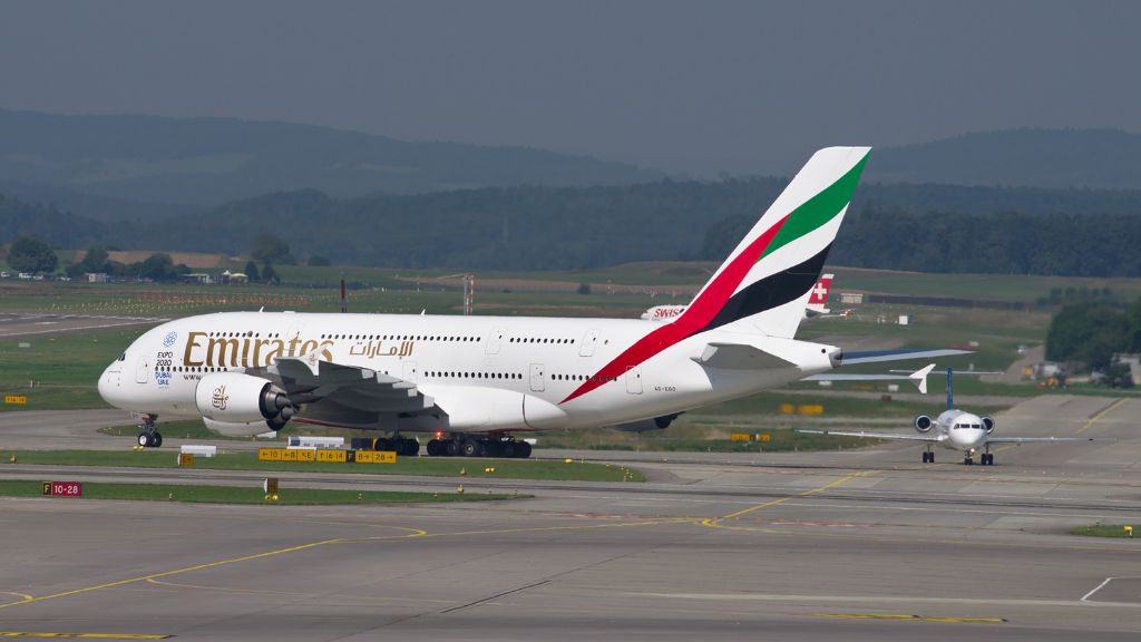
Actual flight paths with Emirates
Read more
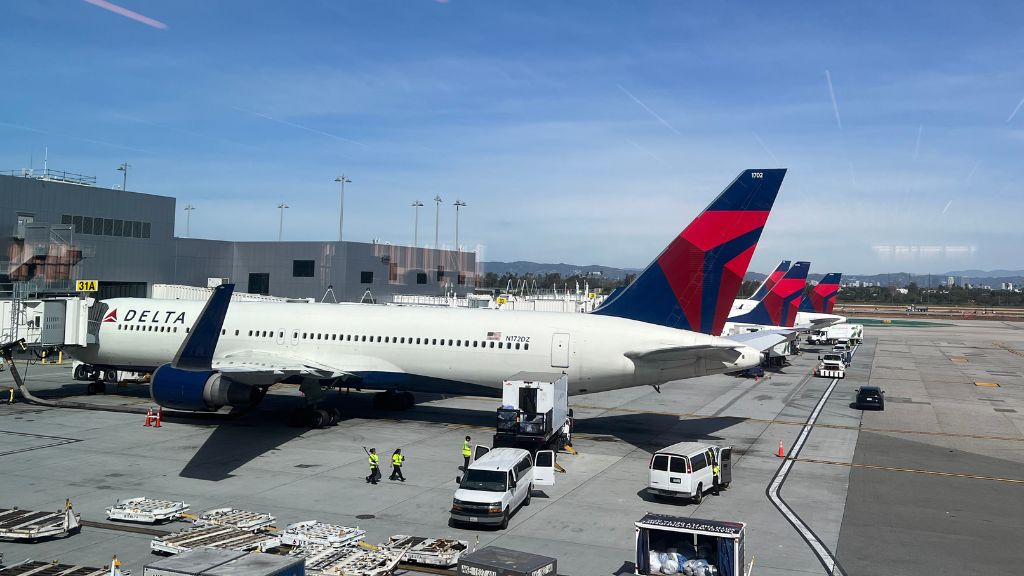
Actual flight paths with Delta Air Lines
Read more
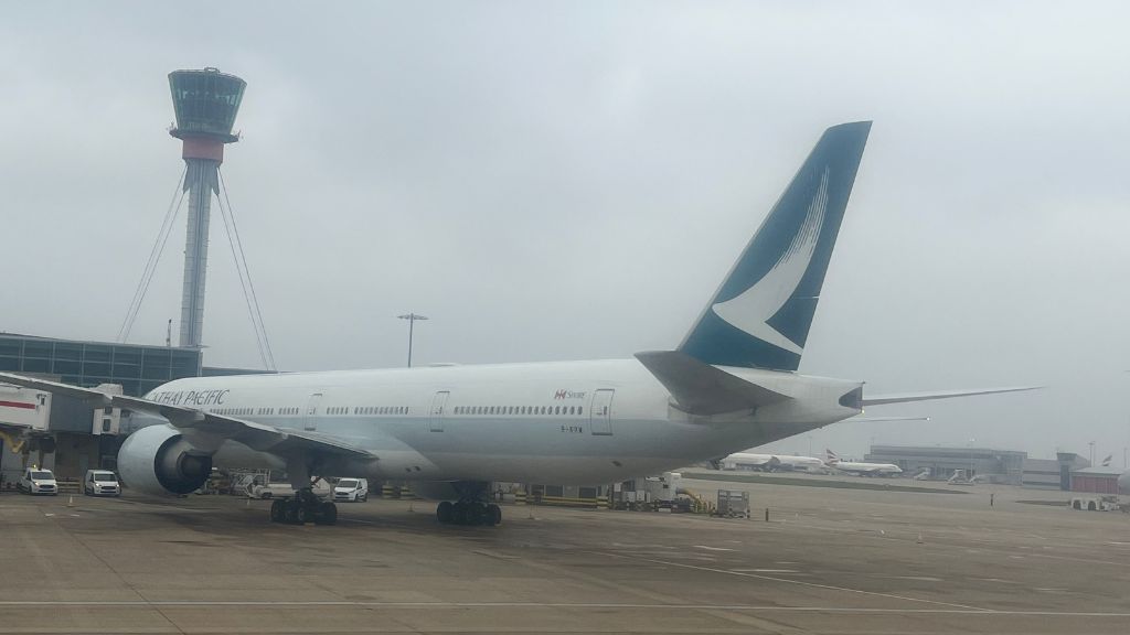
Actual flight paths with Cathay Pacific
Read more
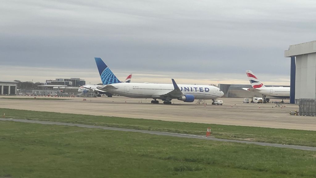
Actual flight paths with United Airlines
Read more
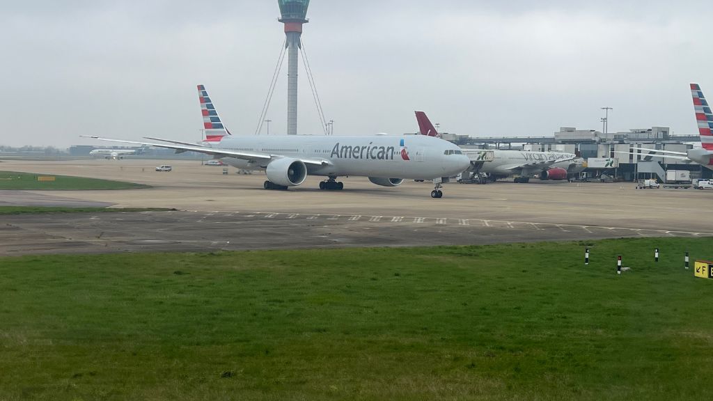
Actual flight paths with American Airlines
Read more
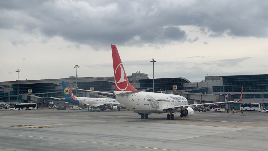
Actual flight paths with Turkish Airlines
Read more