
Why are flight paths curved in a map?
How come flight paths are curved in two-dimensional maps, and is this the actual path that airlines fly? Learn more about great circle navigation and find out how it helps operators in finding the best possible flight path.
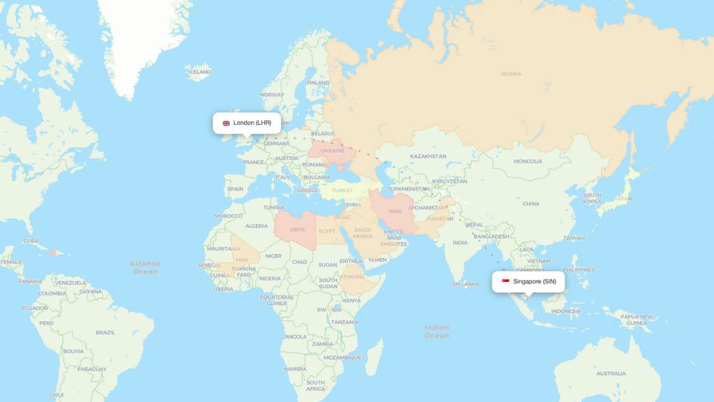
Choosing the shortest possible route when traveling by air is important to save both time, fuel and money. To find the most effective flight path you need to take the spherical shape of the Earth into consideration. When it comes to long distance flights around the globe, the flight path is generally based on the so-called great circles. A great circle is the shortest path between two points on the surface of a sphere, and can be defined as any circle that divides the sphere into two equal halves and is centered on the sphere's center.
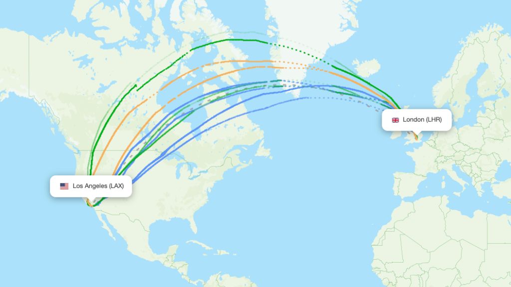
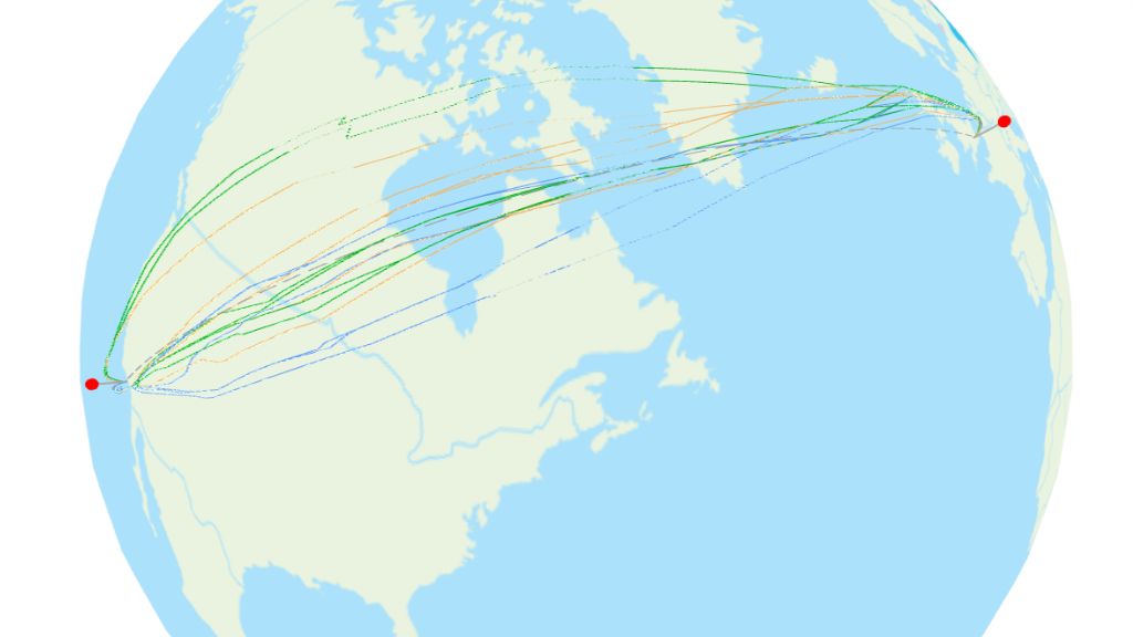
When a flight path following a great circle is displayed on a two-dimensional map it can sometimes appear as an arc – especially if the route is close to either of the poles. Have a look at the images below to see the difference in the route between London and Los Angeles when presented on a two-dimensional map and on a spherical map.
In short terms, you can say that the appearance of a great circle on a flat map depends on the route's proximity to the Equator (which is probably the most famous great circle). Routes passing close to the equator will appear as a straight line while routes further away will appear as much more of an arc.
Travel tip! Would you like to create your own flight routes on a 2D map? Pay our website Flightitinerary.com a visit and visualize your next trip.
Popular great circle routes
Great circle routes are primarily used for long-distance flights, such as those from the US to Europe or Asia. Below are some examples of these routes:
Sydney (SYD) to Santiago (SCL) – One of the longest direct flights in the world, generally following a path over the South Pacific Ocean, closely adhering to a great circle route.
London (LHR) to Los Angeles (LAX) – Flights on this route typically pass over Greenland and Canada, reflecting the curvature of the Earth and shortening the travel distance.
San Francisco (SFO) to Hong Kong (HKG) – This route crosses the Pacific Ocean, taking advantage of the Earth’s curvature to minimize the flight distance.
New York (JFK) to Tokyo (HND) – This route crosses over the North Pacific Ocean, offering the shortest path between these major cities on opposite sides of the globe.
See also
READ MORE
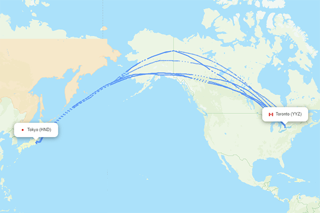
Toronto to Tokyo flight path – Actual airspace usage
Read more
Actual flight paths with Lufthansa
Read more
Airspace restrictions – All about conflict and risk zones
Read more

Flight paths to Turkiye
Read more
Actual flight paths with KLM
Read more
Actual flight paths with Southwest Airlines
Read more
Actual flight paths with Qatar Airways
Read more
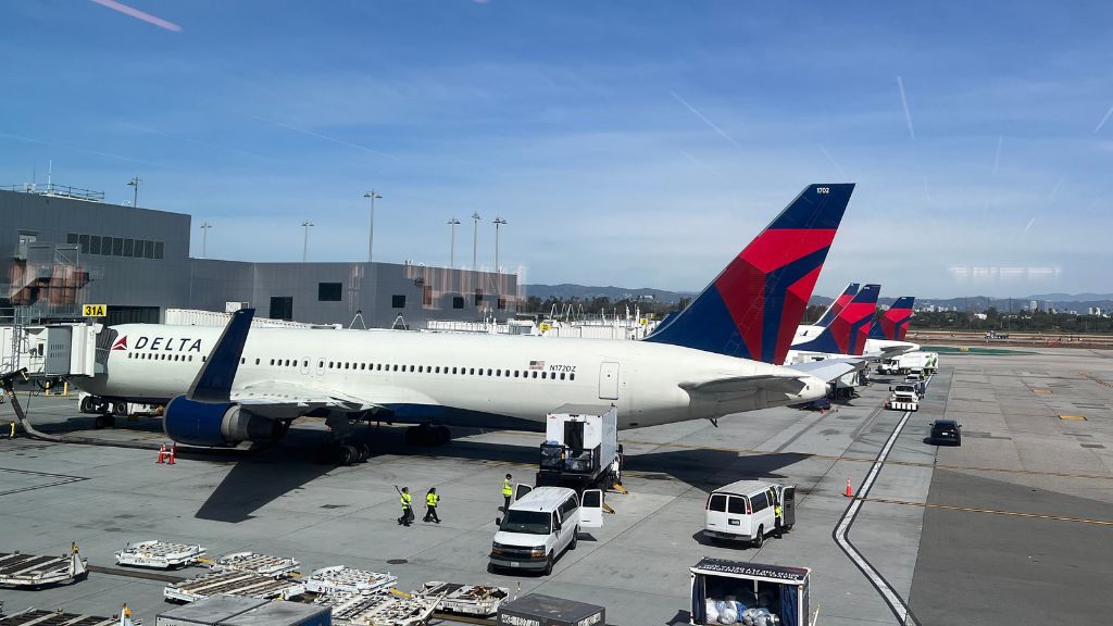
Actual flight paths with Delta Air Lines
Read more
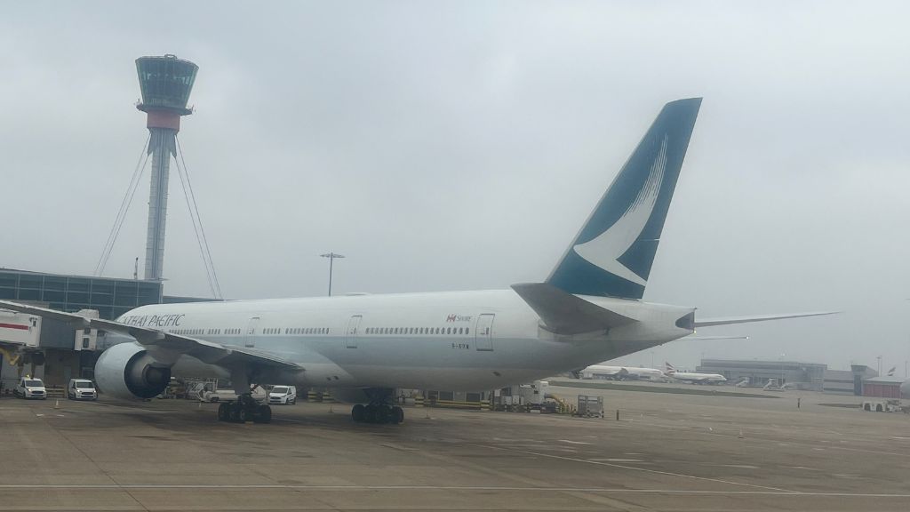
Actual flight paths with Cathay Pacific
Read more
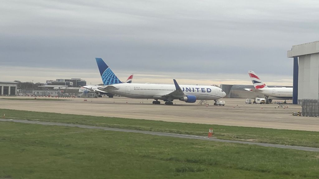
Actual flight paths with United Airlines
Read more
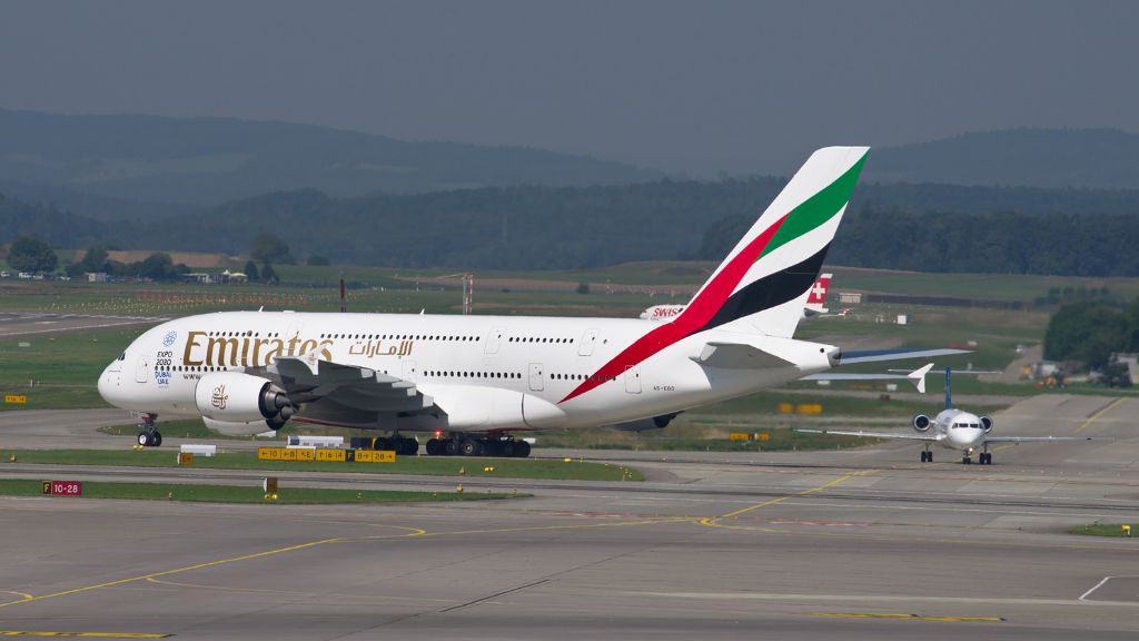
Actual flight paths with Emirates
Read more
Actual flight paths with American Airlines
Read more